


Interstate 15 (I-15) Road Conditions Guide
The Interstate Highway I-15 road conditions guide delivers essential travel information to drivers and commuters and trucking professionals while providing real-time traffic updates and safety information about the most traveled north-south route in the western United States. The I-15 highway connects Southern California to the Canadian border through Nevada and Arizona and Utah and Idaho and Montana which serves as an essential route for interstate travel and freight transportation and tourism and regional travel between states. The process of staying informed about traffic conditions and construction activity and weather changes leads to fewer travel delays while making the trip more secure and efficient.
The Importance of Interstate 15 Highway
The Interstate 15 (I-15) functions as a primary north-south transportation route which connects essential cities including San Diego and Los Angeles and Las Vegas and Salt Lake City and Helena for commercial trucking operations and tourist activities and economic growth. The highway supports substantial freight transportation and logistics operations and cross-border trade activities through its links to important distribution centers and major urban areas. The highway serves as a critical route for both commercial and passenger travel throughout the year to national parks and recreational areas.
Current Road Conditions and Traffic Patterns on I-15
I-15 traffic patterns display considerable differences because of regional and temporal factors which lead to peak traffic times that affect Southern California and Las Vegas and Salt Lake City metropolitan areas. Drivers face bottleneck situations which include heavy traffic and stop-and-go conditions and lane closures and delays caused by accidents most frequently during peak times of the week and holiday periods and while commuting. The rural parts of I-15 provide better driving conditions but traffic patterns experience fluctuations because of seasonal tourist traffic and commercial freight operations. The process of monitoring real-time traffic updates becomes essential when drivers need to avoid traffic delays while keeping their travel schedules on track.
Construction Zones and Infrastructure Projects
The I-15 highway system undergoes ongoing infrastructure development projects which include road expansion efforts and facility maintenance work which state transportation departments in California and Nevada and Utah control. The construction zones of these areas require lane closures and traffic detours and lower speed limits and changes to the traffic flow system which create challenges that extend over long distances. Drivers need to stay vigilant while they maintain their watch for street signs and they need to prepare for more time to reach their destinations when they drive through active construction areas. The process of staying updated about construction updates and roadwork schedules leads to better travel planning.
Weather Conditions Affecting I-15 Travel
The weather conditions along I-15 show significant differences because the highway extends through multiple geographic areas which include desert regions of California and Nevada and snowy regions of Utah and Idaho and Montana. Drivers may face severe weather conditions which include extreme heat and strong winds and dust storms and heavy rain and snowstorms and icy roads based on seasonal changes and their current location. The weather conditions create obstacles which lower visibility and affect road traction and make driving more dangerous. Drivers need to check weather forecasts and road condition alerts before they begin driving and while they drive to maintain their safety on the road.
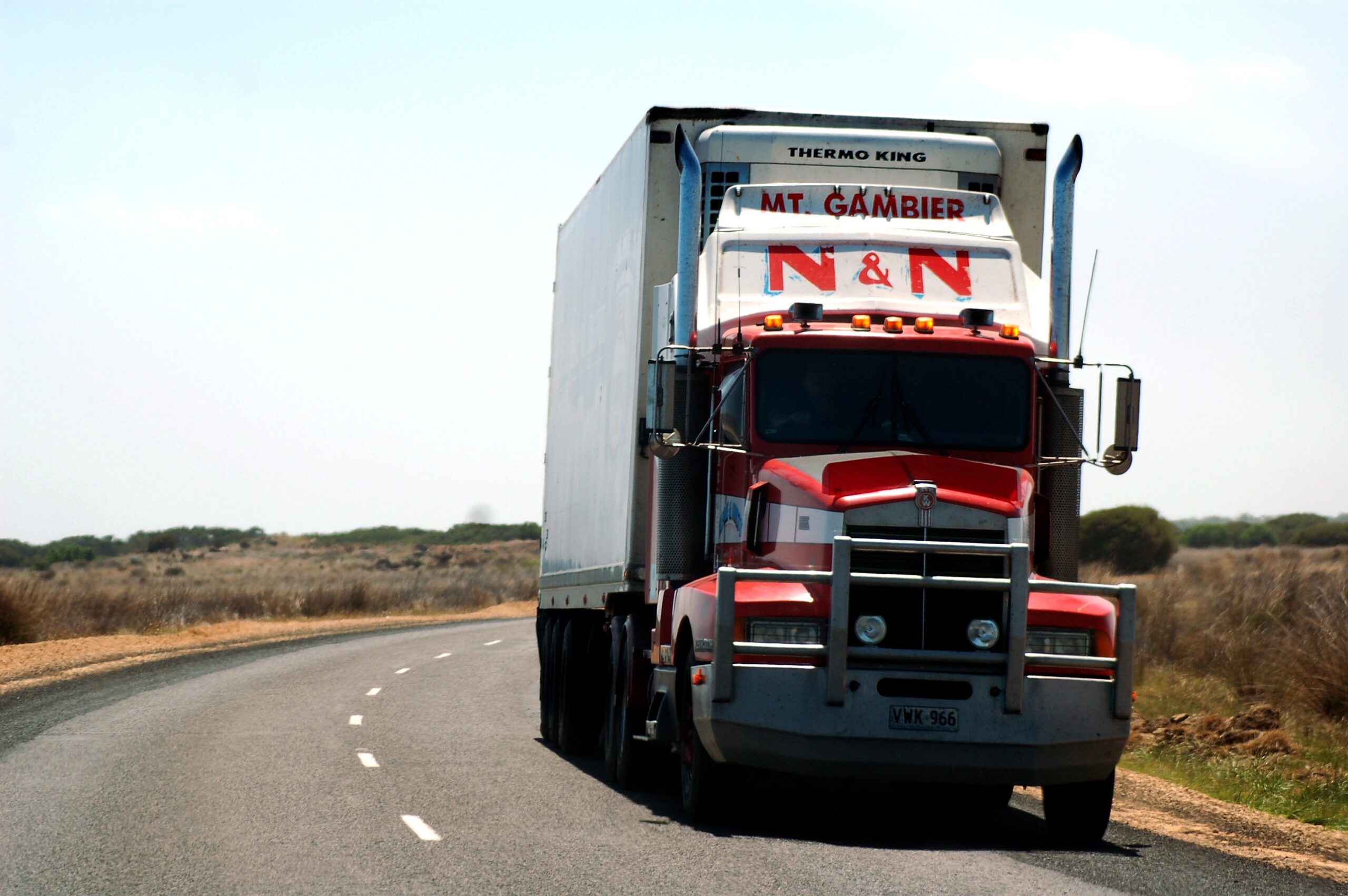
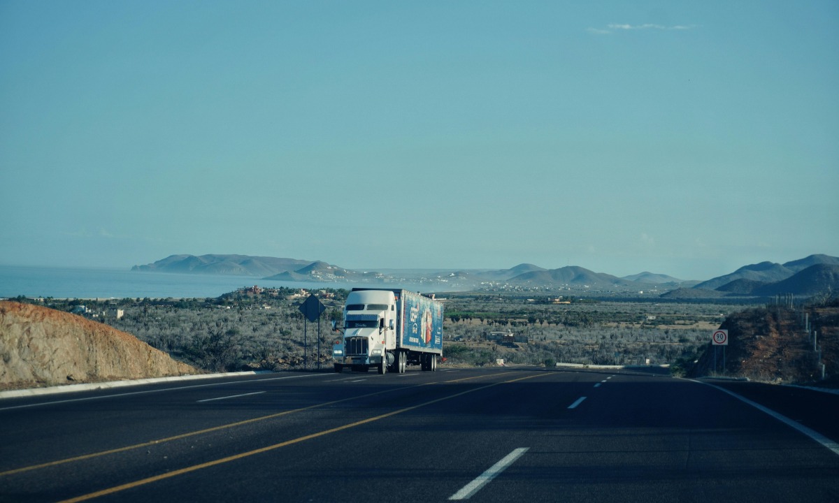
Trucking Traffic and Freight Movement on I-15
The Interstate 15 corridor serves as a primary route for freight transportation and trucking logistics throughout the western United States because it handles high volumes of commercial vehicle traffic and long-haul trucking and supply chain distribution operations. The highway serves as a trucking route which connects major distribution centers and logistics hubs to enable interstate cargo movement. Drivers need to stay mindful of heavy truck traffic and weigh stations and inspection points and merging challenges which become especially challenging in urban and industrial zones.
Fuel Stops, Rest Areas, and Driver Services
I-15 provides drivers with access to truck stops and fuel stations and rest areas and service plazas and repair facilities and food services which serve both major cities and high-traffic travel routes. Certain remote areas in desert and mountainous regions experience limited service availability which makes it essential for travelers to plan their routes carefully. The drivers need to plan their fuel stops and rest breaks before their trip while they need to follow Hours of Service (HOS) regulations to maintain safety during their long-distance travel.
Your training data extends until the month of October in the year 2023. The I-15 highway demands safe driving which depends on drivers needing to observe both existing traffic levels and current road conditions as well as ongoing weather conditions and active construction sites. Drivers must keep proper distance from the vehicle ahead while they need to stop aggressive driving and perform blind spot checking and they should use Google Maps and Waze for their real-time navigation updates. Drivers must proceed with extra caution during busy traffic periods and bad weather conditions and active construction zones because these locations frequently experience unexpected vehicle deceleration and road lane switching. Drivers who practice defensive driving while maintaining awareness of their surroundings can stop accidents from happening in their presence.
The early morning hours and late evening time period and mid-week days serve as the best times to travel on I-15 because these periods experience reduced traffic volume and better road conditions. The commuter traffic which affects tourist areas such as Las Vegas and Southern California experiences heavy traffic congestion because it occurs during peak commuting times and weekends and holidays. The use of off-peak travel times results in shorter delays while it boosts fuel efficiency and provides travelers with a more consistent travel experience.
The condition of I-15 roads directly affects how trucking businesses operate their delivery schedules and fuel use and operational logistics. The combination of traffic jams and construction areas and severe weather conditions results in delays that lead to higher operational expenses and decreased productivity levels. Businesses that use real-time tracking systems and route optimization tools and traffic analytics can achieve better operational efficiency by reducing their operational interruptions and reducing their need to drive without cargo while boosting their overall fleet performance. The logistics industry requires businesses to execute efficient planning processes which enable them to protect their existing profit margins against market competition.
Interstate 15 highway functions as an essential transportation corridor which facilitates interstate travel and freight transportation and business activities throughout various western states. Drivers must be ready to face traffic jams and shifting weather conditions and construction zones and frequent truck traffic that occur along this roadway. The combination of proper planning and real-time updates and safe driving methods will help travelers achieve a secure and efficient and uninterrupted journey on I-15.