
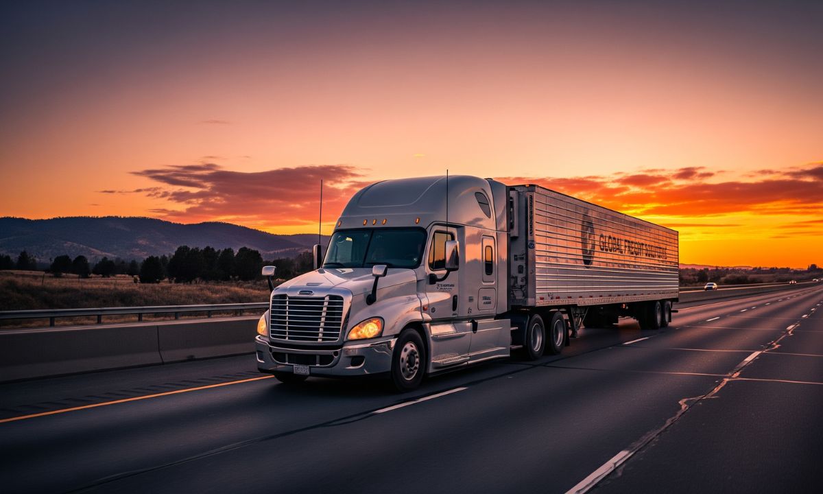


Interstate Highway I-10 Road Conditions: Quick 5-Minute Guide for Drivers & Truckers
The Interstate Highway I-10 Road Conditions guide provides drivers and truckers with essential information for their travel needs through a brief 5-minute overview. The Importance Of Interstate 10 Highways Interstates serve as crucial transportation routes throughout the United States. The interstate highway system connects Los Angeles with Jacksonville through a major east-west route, which stretches between California and Arizona, Texas and Louisiana. The highway system represents one of the United States’ longest routes, which serves as a vital link for coast-to-coast freight movement, trucking logistics, and interstate travel. The highway connects essential transportation hubs, which include major ports and industrial centers and distribution centers. The system requires continuous supervision because its extended distance needs monitoring to support efficient travel planning and secure transportation.
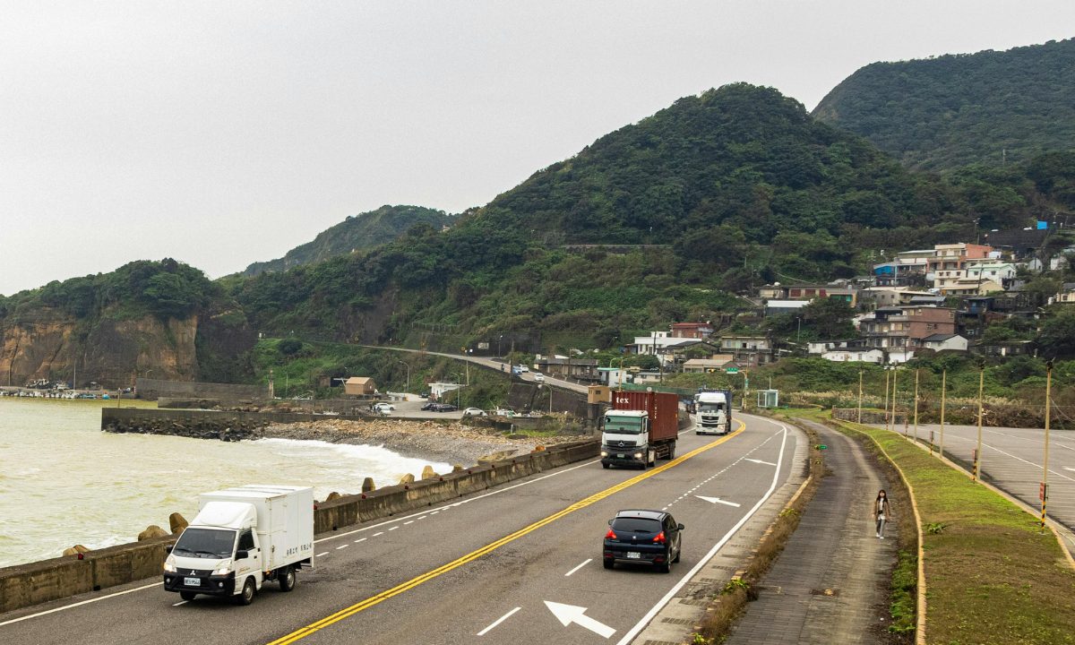
Current Road Conditions and Traffic Patterns on I-10
Traffic patterns along I-10 show different patterns based on specific areas. Urban areas like Los Angeles and Phoenix and Houston experience severe traffic jams, but drivers encounter better driving conditions on the road sections that connect these cities to rural areas. The road presents drivers with stop-and-go situations due to traffic and delays caused by accidents and lane restrictions that occur at times. The real-time updates show traffic patterns that experience rapid changes, which drivers need to check during their travels to avoid delays and keep their travel plans running smoothly.
Construction Zones and Infrastructure Projects
The Texas Department of Transportation and California Department of Transportation conduct routine maintenance and infrastructure upgrades on I-10. The construction area requires lane closures and detour routes and operating vehicles at lower speed limits. The construction areas extend over extensive distances, which forces drivers to stay alert while they need to add extra time for their journeys.
Weather Conditions Affecting I-10 Travel
The weather conditions along I-10 display major differences because the highway spans such a large area. Drivers face extreme desert heat while traveling through desert regions and encounter heavy southern rainstorms that occur in southern states. The weather conditions create driving hazards through visibility reduction, which makes it essential for travelers to check weather forecasts before their departure.
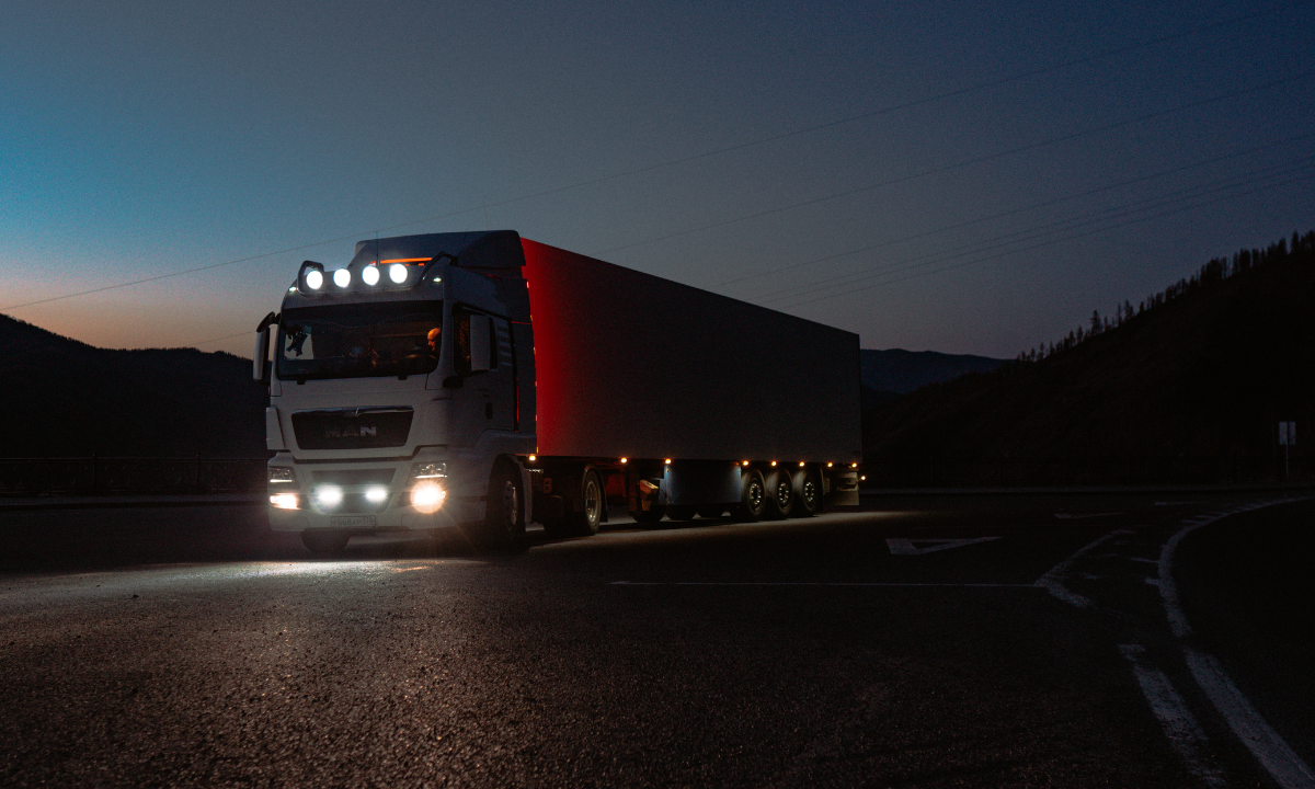
Trucking Traffic and Freight Movement on I-10
The United States contains one of its most active freight corridors on I-10, which assists long-distance trucking and supply chain operations and freight transportation. The route requires drivers to navigate areas with high truck traffic and weigh stations and inspection stations. Delivery schedules depend on two factors: efficient route planning and traffic condition awareness.
Fuel Stops, Rest Areas, and Driver Services
I-10 operates multiple truck stops, fuel stations, rest areas, and service plazas, which provide service to drivers throughout the entire route except for specific remote areas that lack proper service. The entire route offers truck stops and fuel stations and rest areas and service plazas, but certain remote sections contain fewer available services. Drivers need to schedule their fuel stops before their trip to ensure they have enough fuel for less populated regions, while they need to follow Hours of Service (HOS) rules.
Safety Tips for Driving on I-10
Drivers need to understand traffic situations and environmental conditions to drive safely on I-10. Drivers should maintain safe following distances while checking their blind spots and tracking vehicle locations through Google Maps and Waze. Drivers need to maintain extra vigilance when they enter construction areas and experience dangerous weather situations to protect their safety.
Best Times to Travel on I-10
- The period between early morning and late evening has lighter traffic levels.
- Major urban areas reach their most crowded state during the time when people travel to work and return home.
- The current weather conditions can affect when people choose to travel. The area outside peak travel hours offers better fuel efficiency and shorter travel durations.
I-10 road conditions directly impact trucking companies because they delay shipments and increase fuel expenses while decreasing operational productivity. The real-time tracking system enables businesses to decrease their operational downtime while optimizing their delivery routes. The improved planning process enables businesses to achieve greater fleet efficiency while decreasing empty miles and boosting their profit margins.
Final Takeaway
The interstate system functions as a vital transport route for people traveling long distances between southern United States cities and freight shipments. Drivers need to prepare for three types of road challenges, which include traffic jams and unexpected weather changes and extended journeys. The correct planning process together with real-time updates allows drivers to achieve safer and more efficient trips on I-10.