


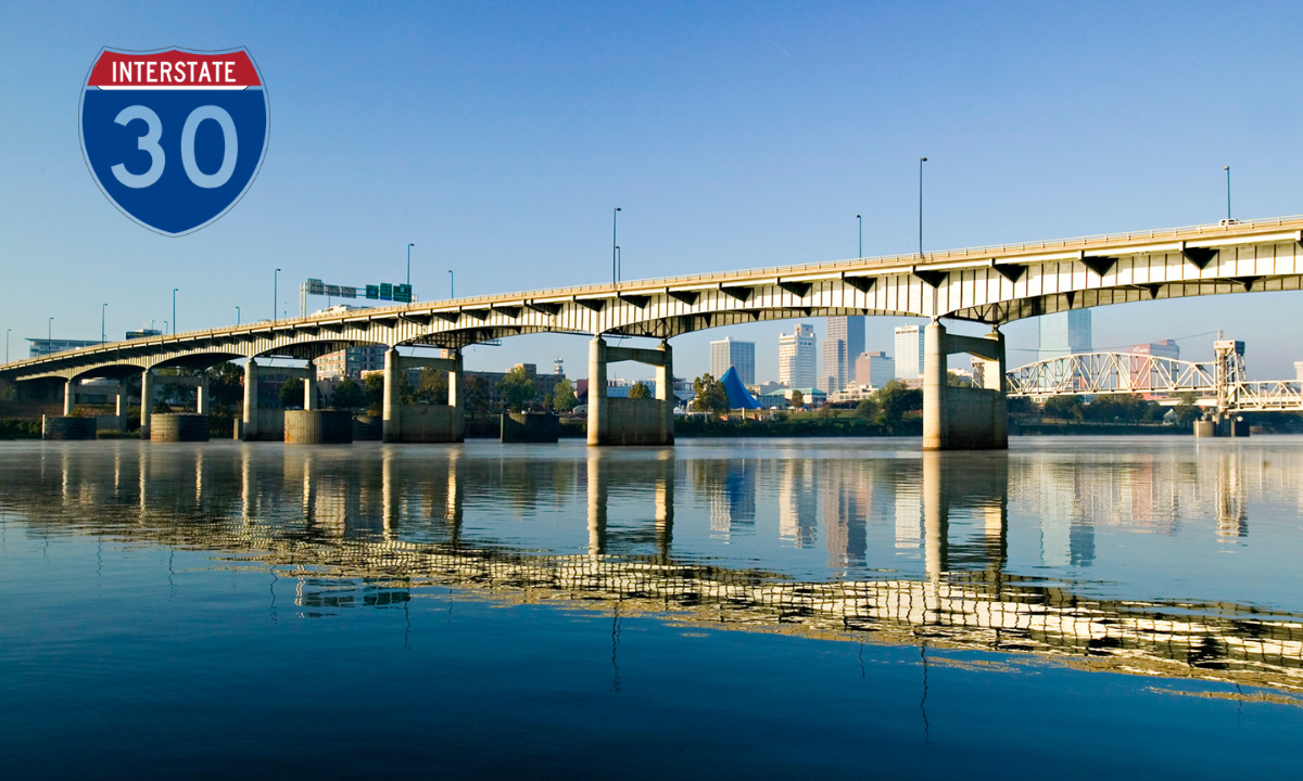
I-30 Road Conditions: Travel Updates for Drivers and Truckers
Interstate 30 (I-30) is basically a big east-west route that ties together Texas and Arkansas. It runs from Fort Worth, Texas to North Little Rock, Arkansas and it’s used by commuters, commercial truck drivers, and people doing longer hauls between major towns and work hubs. If you check travel planning resources before you roll out it can keep you in the loop about road conditions and whatever delays are forming. Since it’s such a key transportation corridor I-30 tends to see heavy traffic volumes most months of the year. Keeping an eye on what’s happening on the roadway also supports safer travel, not just faster travel.
Current I-30 Traffic Conditions
Traffic along I-30 doesn’t stay the same, it kind of changes with the time of day, construction activity, weather, and shifting regional demand. If you drive through the Dallas-Fort Worth area, around Texarkana, or into Little Rock you might notice heavier volumes during peak hours. Looking at I-30 traffic updates before you leave can point out congestion, crashes, and lane restrictions. Conditions can shift pretty quickly in the urban spots and near major interchanges. Real-time updates let travelers decide on routing sooner, which can cut down travel delays.
Weather Impacts on I-30 Travel
Weather is a major factor for what drivers run into on Interstate 30. Things like heavy rain, thunderstorms, fog, winter ice, and even occasional snow can reduce visibility and impact traction across parts of Texas and Arkansas. Checking highway weather forecasts ahead of time gives drivers more room to prepare for changing conditions. When severe weather shows up, traffic often slows down, and sometimes roads get temporarily closed. If you keep monitoring forecasts during the trip you can help make the drive more controlled, and safer overall.
Construction Zones and Highway Improvements
Transportation agencies in the different states often work on the I-30 corridor to improve safety, and to keep traffic moving better. Those efforts can include pavement resurfacing, bridge rehab work, lane additions, and interchange upgrades. Following interstate construction updates helps drivers avoid work zones and choose alternate routes when they have to. Scheduling is usually meant to reduce disruptions but travel time can still get affected. When you know where the projects are located, it becomes easier to manage your schedule and keep expectations realistic.
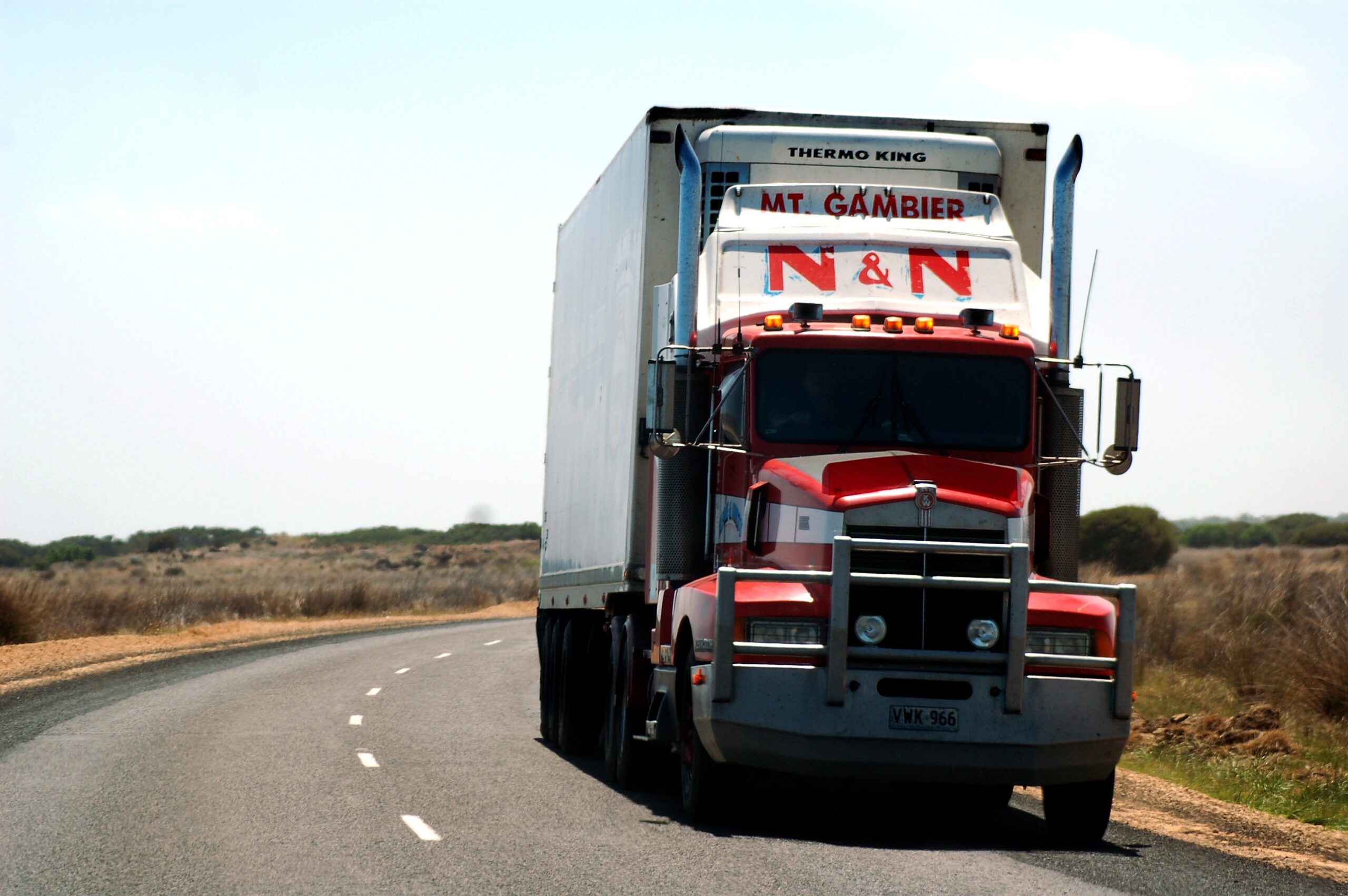
Trucking and Freight Transportation on I-30
I-30 acts like a backbone freight corridor, connecting distribution centers, manufacturing sites, and retail demand. Commercial trucking depends on this interstate for both regional deliveries and interstate hauling. Professional drivers often use truck route information to stay ahead of traffic conditions, understand parking availability, and catch route restrictions early. The corridor backs economic activity across the southern United States. Getting freight moving efficiently along I-30 matters a lot for keeping supply chain operations intact.
Major Cities Along Interstate 30
Interstate 30 passes through a bunch of major places including Fort Worth, Arlington, Dallas, Rockwall, Greenville, Sulphur Springs, Texarkana, Hope, Benton, and Little Rock. People and commercial activity build up in these communities throughout the year. Watching real-time road conditions around these cities can help travelers steer clear of congestion and unexpected slowdowns. As urban growth and development keep moving forward the corridor sees more traffic pressure. Understanding the local flow can make the drive feel smoother overall, even if you hit pockets of slow movement.
Safety Tips for Driving on I-30
Staying safe on I-30 takes attention to roadway conditions, traffic movement, and quick weather changes. Drivers should keep proper following distances, obey posted speed limits, and stay sharp when you enter construction areas. For commercial operators, it helps to review commercial vehicle safety guidelines before heading into long-haul runs. Vehicle upkeep plus trip planning matters just as much for preventing trouble on the road. Using preventive steps can lower the odds of crashes, and also reduce chances of surprise breakdowns.
Resources for Monitoring I-30 Road Conditions
There are a lot of tools out there for tracking Interstate 30 conditions. State 511 systems, traffic cameras, weather services, and transportation department pages can offer useful updates about roadway status. Checking road closure alerts and live traffic cameras before departure helps spot trouble spots, delays, and detours. When you use more than one type of information source, you get a fuller picture of what’s going on right now. Ongoing checks can help drivers adjust plans while conditions evolve.
Conclusion
Interstate 30 stays one of the most important travel corridors connecting Texas with Arkansas. By staying informed about traffic conditions, checking weather forecasts, understanding construction work, and following safety advisories, travelers can aim for journeys that are safer and more efficient. Monitoring I-30 road conditions before and during travel helps cut down on delays, and improves trip planning. Getting accurate information on time, is really one of the best tools for a successful drive along this busy interstate corridor.