


Interstate 12 (I-12) Road Conditions Guide
The Interstate Highway I-12 road conditions guide delivers essential travel updates for drivers and truckers who rely on this corridor for efficient routing and safe transportation. The critical connector for Louisiana requires drivers to stay updated about road conditions and traffic alerts and weather changes so they can travel without delays and make their journeys more efficient. The I-12 conditions provide essential information for trip planning which helps reduce road risks for both commercial trucking operations and personal travel.
The Interstate 12 (I-12) serves as a strategic east-west transportation route in Louisiana, functioning as a bypass for Interstate 10 (I-10) and helping to divert traffic away from the highly congested New Orleans region. The highway connects Baton Rouge to Slidell which serves as a critical link for regional traffic and cargo shipping and distribution network connections between industrial zones and cargo shipping points and Gulf Coast shipping routes. The corridor has become increasingly important for supply chain movement and economic growth throughout the southern United States because of rising trucking demands.
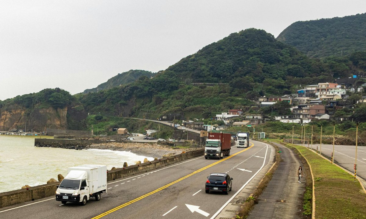
The I-12 road conditions and traffic patterns display current traffic conditions and how vehicles travel through this region. The traffic conditions on I-12 show different patterns throughout the day and across different street locations with urban congestion near Baton Rouge and Slidell being the most common problem during peak traffic hours while rural areas show better traffic flow. Drivers experience stop-and-go traffic and accidents and lane closures and merging delays during morning and evening rush hours which leads to major delays in their travel time. The drivers can use real-time traffic monitoring tools to create routes that help them steer clear of traffic jams while they keep their travel plans running on time.
The Louisiana Department of Transportation and Development (LaDOTD) oversees construction projects and infrastructure upgrades on I-12 to enhance road conditions and traffic movement yet these projects require drivers to deal with temporary disruptions including lane closures and detours and speed limit reductions. Drivers who encounter construction zones that stretch over multiple miles must stay alert for changing traffic patterns which will affect their route through the construction zones. Drivers who want to avoid delays must stay updated on current roadwork and upcoming maintenance activities to achieve a more seamless driving experience.
Louisiana’s humid subtropical climate causes the I-12 weather conditions to experience frequent rainstorms and high humidity and fog and occasional flooding, which creates dangerous driving conditions. Heavy rainfall causes water to pool on roads and visibility to decrease, whereas fog creates dangerous low-visibility conditions that need urgent driver action. Drivers must monitor weather forecasts and live updates during their trip to identify dangerous conditions that could threaten their safety along the entire route.
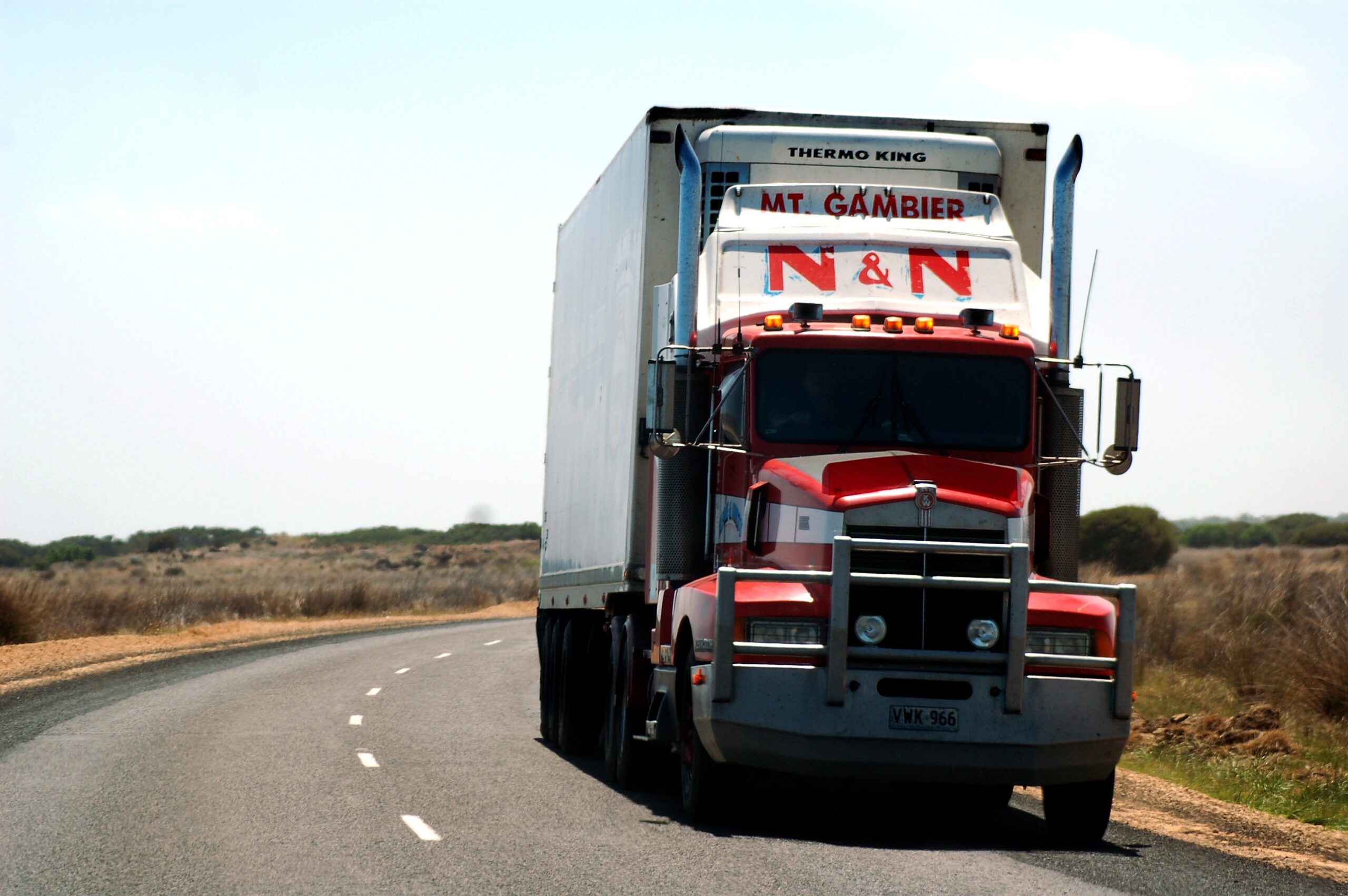
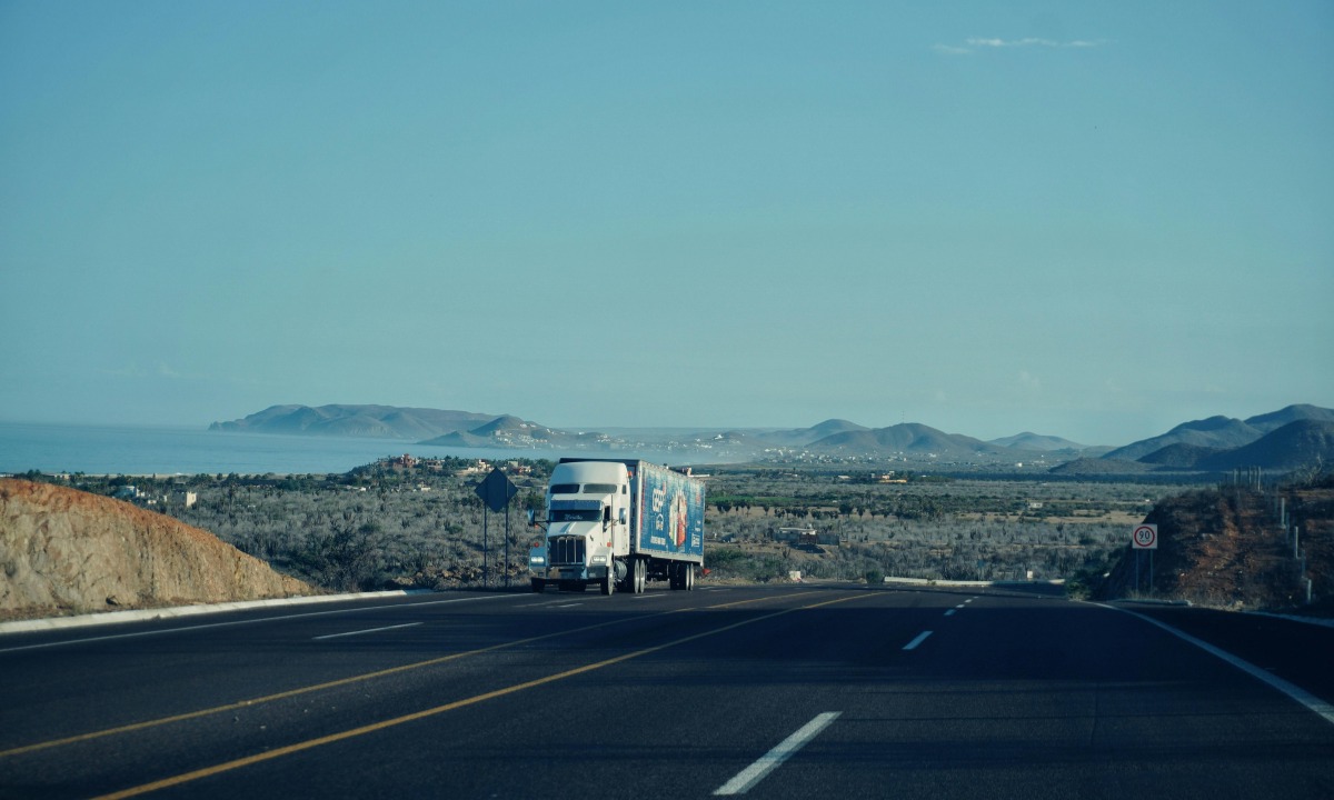
The Interstate 12 corridor serves as a vital route for trucking logistics and freight movements because it provides truck drivers with an alternative route that experiences lighter traffic than I-10 yet still accommodates substantial commercial vehicle traffic and regional distribution networks. The industrial area access points and delivery vehicles and high freight volumes create traffic challenges for truck drivers. The success of route planning and scheduling and traffic condition awareness determines the ability to achieve on-time deliveries while making the most efficient use of supply chain processes.
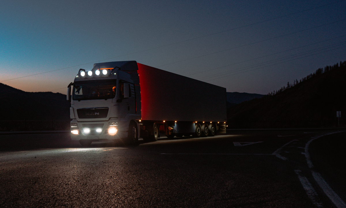
The I-12 route provides essential services for long-distance drivers and trucking professionals through its network of fuel stations and truck stops and rest areas and service facilities which operate mainly in populated areas. The less populated regions offer fuel stations and rest areas but drivers must schedule their fuel stops and rest breaks ahead of time to prevent unwanted interruptions. The combination of HOS regulations and proper trip planning enables safe driver operations during long-distance trips while maximizing operational efficiency.
The I-12 driving process becomes safer through traffic awareness and environmental condition monitoring which helps drivers detect sudden slowdowns and weather changes and construction zones that create unpredictable scenarios. The drivers should keep safe following distances while they watch for blind spots and they should use navigation tools like Google Maps and Waze to receive live traffic updates. Drivers must exercise special caution during heavy rain and fog and roadwork areas because these conditions can quickly change both visibility and road conditions.
The best time to travel on I-12 is typically during early morning and late evening hours, when traffic density is lower and driving conditions are more predictable. The rush hours near Baton Rouge and Slidell create their most severe traffic congestion during which drivers must spend extra time on the road while their vehicles use more fuel. Trip planning during off-peak hours delivers two main advantages which include reduced travel delays and enhanced fuel efficiency and improved travel experiences.